On a clear evening, a lighthouse announces itself long before you can see the tower: one white flash, ten seconds of dark, then the same again. That rhythm is a name, if you know where to look it up. Charts and light lists give every aid to navigation a precise shorthand, and once you can read it you can identify a light from a headland, a boat or a cliff-top car park — and you will rarely confuse two of them again.
How a lighthouse appears on a chart
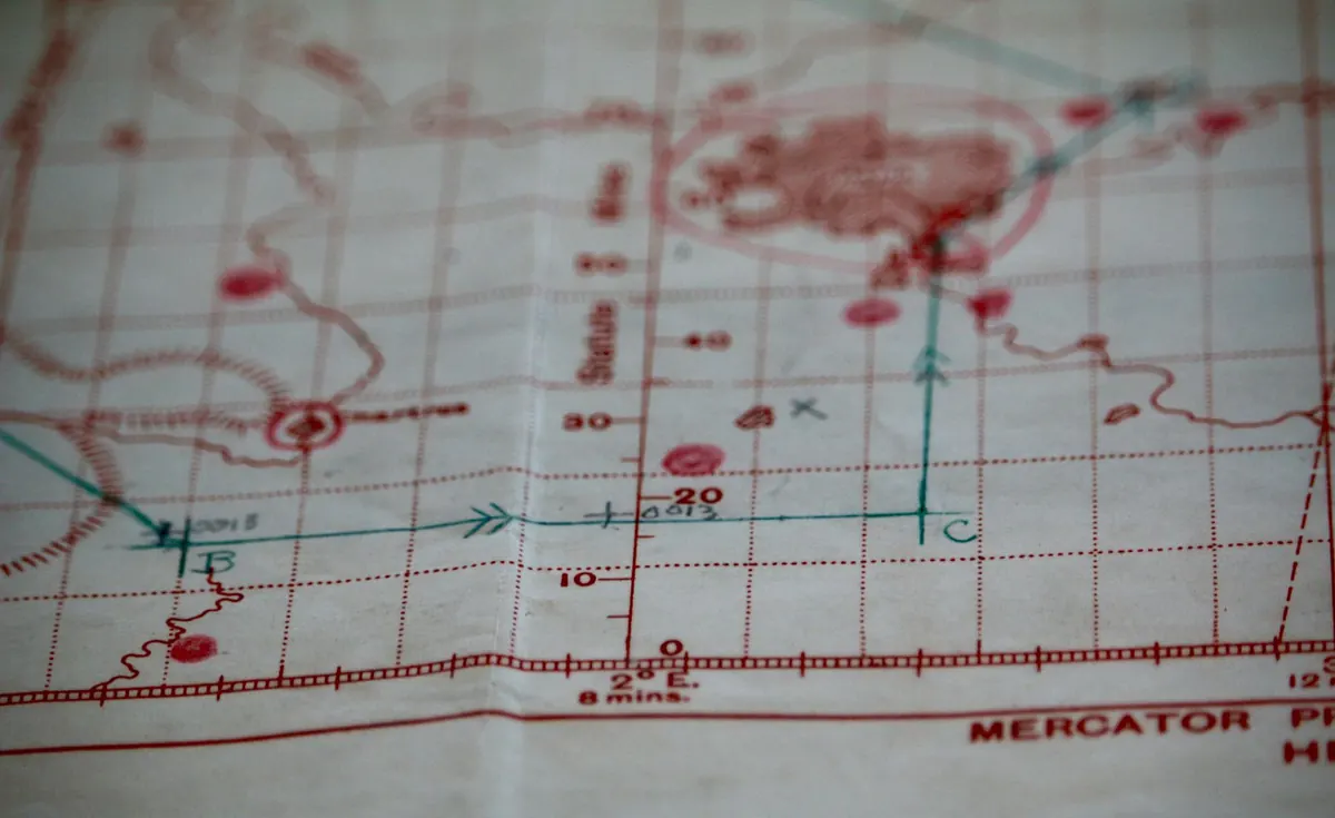
On a nautical chart, lighthouses and other lit aids are printed in magenta — the same colour used for all lights — so they stand out from the black coastline and the blue-grey depths. The basic mark is a magenta star or a small filled dot with a flare, often sitting on a tiny circle or triangle that shows the structure itself.
Beside it you will find a short block of text: the name, then abbreviations and numbers describing the light. A major landfall light might be labelled Lt Ho with a full description; a minor harbour light may be nothing more than a dot and a few characters. Towers, chimneys and monuments used as daymarks are shown too, usually with the abbreviations Tr, Chy and Mon. If you can see the structure in daylight but not read its light, the daymark will still let you place yourself.
Decoding the flash pattern
Every light has a characteristic — a signature rhythm — and the abbreviations are logical once you know what they stand for.
A fixed light (F) shines without interruption. A flashing light (Fl) shows a shorter period of light than darkness, while an occulting light (Occ) does the opposite: mostly on, briefly off. An isophase light (Iso) divides its time equally between light and dark. Quick (Q) and very quick (VQ) lights flash rapidly — roughly fifty to eighty times a minute, and around double that — and are usually found on buoys rather than towers. Long flashing (LFl) lights stay on for two seconds or more. A morse light (Mo) flashes a letter in Morse code, and an alternating light (Al) changes colour, such as white then red.
Numbers and colours follow. Fl(3) means three flashes in a group; Fl(2) W 10s means two white flashes in every ten-second cycle. Colours use W, R, G and Y for white, red, green and yellow. When you time a light, measure the full cycle from the first flash of one group to the first flash of the next — not from flash to flash, which will give you a false period.
The numbers that follow: height and range
Take a typical chart entry: Fl(2) R 10s 24m 15M. Read left to right and you have a group of two red flashes every ten seconds, a light standing 24 metres above mean high water springs, and a nominal range of 15 nautical miles.
Two cautions are worth remembering. First, nominal range assumes clear air — a meteorological visibility of about 10 nautical miles — and coloured lights carry less far than white ones, so a red sector may fade well before the stated figure. Second, the horizon intervenes.
As a rough guide, the distance at which you can see a light, in nautical miles, is about 2.08 × (the square root of the light's height in metres plus the square root of your height of eye in metres). From a small boat with your eye 2 metres above the water, a 24-metre light is theoretically visible about 13 nautical miles away. On a clifftop, with your eye far higher, the same light reaches much further — which is why lighthouses are so often spotted first from high ground.
Chart abbreviations worth knowing
- Lt Ho — lighthouse.
- F, Fl, Occ, Iso, Q, VQ, LFl, Mo, Al — fixed, flashing, occulting, isophase, quick, very quick, long flashing, morse, alternating.
- W, R, G, Y — white, red, green, yellow.
- m — height of the light above mean high water springs, in metres.
- M — nominal range in nautical miles.
- Obscd — the light is hidden over part of its arc.
- Ra — radar reflector; Racon — radar beacon transmitting a Morse letter.
- Lt V, Lanby — light vessel and large automatic navigation buoy.
- Tr, Chy, Mon — tower, chimney and monument: daymarks rather than lights.
Sectors, obscured arcs and leading lights
Many lights are not white in every direction. A harbour approach might show white over the fairway, red to the north and green to the south, so the colour you see tells you which side of the line you are on. On the chart these arcs appear as dashed magenta lines radiating from the light, with bearings and colours noted. Obscd means the light is blocked by land or structure over that arc — a frequent surprise to anyone who knows the light from the opposite shore.
Leading lights work in pairs. Two lights are marked with a bearing, and you bring them into line to follow a channel; the front light is lower, so the two appear stacked when you are on track and separate the moment you wander.
Where to check the detail
Charts give the essentials, but the full entry lives in the Admiralty List of Lights and Fog Signals, published in regional volumes and corrected by Notices to Mariners. It records the exact characteristic, elevation, range, structure and any remarks about sectors or seasonal operation. A nautical almanac carries a condensed version, and sailing directions describe the coast in words, which is often the quickest way to understand what a light is actually for.
In the UK, Trinity House, the Northern Lighthouse Board and Irish Lights publish their own notices about changes, as do many harbour authorities for minor lights. If a light looks wrong — missing, dimmer, or the wrong colour — treat your chart as out of date until you have checked for corrections.
A five-minute drill for your next headland
- Choose a stretch of coast you know well and find every lit aid on the chart.
- Write each light's description out in plain English: colour, pattern, cycle time, elevation and range.
- Turn the chart over and work in reverse — convert "two white flashes every ten seconds" back into Fl(2) W 10s.
- At dusk, time the cycle with a watch, count the flashes in each group and check the colour.
- Compare what you see with what you wrote. Is the light as far off as you expected? Is the colour right? Make a note of anything that does not match.
Do this once or twice and the shorthand stops feeling like code. You will start to recognise lights by rhythm alone, the way you recognise a voice on the phone — and a chart will read less like a diagram and more like a conversation about the coast.
Photo: Brigitte Pellerin / Pexels